Map Skills – Recognizing Physical Features (1970)
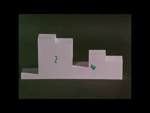
Physical features such as gulf, peninsula, island, etc, are defined and basic principles of using colors to show elevation are illustrated with models.
We digitized and uploaded this film from the A/V Geeks 16mm Archive. Email us at footage@avgeeks.com if you have questions about the footage and are interested in using it in your project.