Language Of Maps (1964)
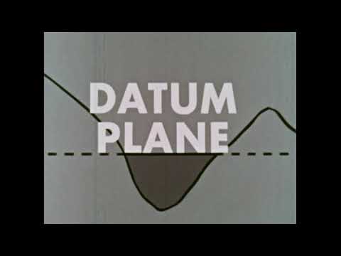
The film explains how maps utilize symbols and colors to represent various geographical features and man-made structures. It discusses the importance of understanding these symbols for navigation and orientation, highlighting concepts such as contour lines, scale, and legends. The viewer learns how maps can convey information about elevation, water depth, and even climatic conditions, emphasizing the intricate relationship between maps and the natural world.
Keywords
maps, symbols, contour lines, scale, orientation, geographical features, navigation, legends, elevation, water depth, climate


