Map Skills – Using Maps Together (2ndEd, 1960, SILENT)
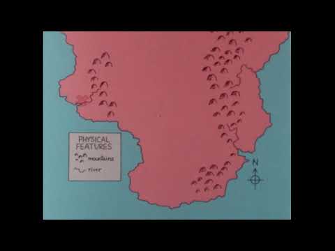
SILENT. Through animation, maps of the same scale and projection are combined to show relationships between natural features of the earth, human use, and social and political features.
We digitized and uploaded this film from the A/V Geeks 16mm Archive. Email us at footage@avgeeks.com if you have questions about the footage and are interested in using it in your project.